Total Pageviews

Sunday, February 15, 2015

Apache Trail (a little east of Phoenix, AZ) Part 1

Wednesday, February 11, 2015

We decided to make a day trip and drive the Apache Trail scenic drive.  It is only about 88 miles long but involves 22 miles of dirt road and took us about 8 hours to do.  The whole way along the trip we made lots of stops and took lots of pictures.  Because of the number of pictures, I am dividing this drive into 2 blog posts.

We started about 8am and headed to Canyon Lake.  It was a beautiful morning!
The sun shining through this cactus looks so pretty.  These cactus look so soft and fuzzy. BUT LET ME TELL YOU they are extremely prickly and practically jump out and attach themselves to anything that gets close.
Along the drive to Canyon Lake we saw this rock formation jutting up.  It was so beautiful against the beautiful blue sky.
More beautiful scenes along the drive to Canyon Lake.
We had to go up and down many mountains.  This was the view down one of the canyons we drove past.
Don't these mountains look rugged.  We had to take this picture into the sun, but it is not a bad picture.
Here is a pull out to view Canyon Lake.  Below is the view of the lake from this vista.  
 This is our first glimpse of Canyon Lake.  There were electric poles everywhere so many of our pictures have them in the picture.  

We passed a sign that said "One lane bridge in 1/2 mile".  Then we turned a corner and saw the bridge.  I took this picture out of the car window.  All the lakes along our drive are created from dams along the Salt River.  This bridge is crossing the river before we arrived at Canyon Lake.
 
This is a lakeside panoramic Tic took of the lake.  The mountain walls run straight into the lake.  On that side of the lake there was not any shore.  This picture is inadequate at showing the beauty.
This beautiful duck was a short distance off the dock where Tic was standing taking pictures.
This is a closeup of the mountain going directing into the lake.  You can see part of the dock Tic is standing on.  Look for the small splash across the lake.  That is a fair sized speed boat passing by.  The size of the boat shows how far away the boat actually was from the dock.
People can take tours of the lake on The Dolly. 
Here is a better picture of The Dolly.  The cruises go out at noon and again at 4pm.  We were there a little before 10am.  We decided this could be another day adventure.
This is a view of Canyon Lake as we were headed on our journey towards Tortilla Flat.  Just about this time the road changed to dirt.  It was to be dirt for the next 22 miles.

The smoke from the building in the distance is the restaurant in Tortilla Flat.


Here we are in Tortilla Flat.  This is the mercantile and post office.  The internet said the population of Tortilla Flat is 6.  It is the smallest town to have both a post office and voting place.

This is looking back towards the direction we came into town.  Beautiful countryside.
This is the saloon side in the restaurant.  Notice the 4 horse's rear-end carved stools.
The remainder of the bar stools are actual western saddles.  I noticed no one was sitting at any part of the bar.  Perhaps it was too early in the day, although it was about 11 am.

This is the eating area of the restaurant.  The walls are lined with $1 bills.  They are neatly organized whereas the $1 bills in the restaurant in Oatman, AZ were haphazardly placed.

The stalls in the ladies room were painted cute.  The body was on the door and the head was on the back wall.


This is the sink area in the restroom.  I thought it was really cute.
The sign above and below talks about the Dutchman and his lost gold mine.

Everywhere in the Superstition Mountains the "Lost Dutchman's Mine" is referred to.
This shows the small museum in Tortilla Flat.  Good thing it did not cost to go in.
Shortly after leaving Tortilla Flat we headed up into the mountains again.  We stopped at this point to get this picture of the road we are getting ready to go down.  There was lots of up and down.
This was part of the road down.  We were not impressed with the "guardrails". Down at the sharp curve in the road is a bridge.  
Here is a little closer look at the one-lane bridge.
Here we are checking out this chasm.  You can see the dirt road was well graded although there were many spots that were only one car width.
These are the mountains we drove beside getting to the bridge.
This is also looking back up the road from which we came.  The rock formations are interesting.
This is the water on the downhill side of the bridge.  Doesn't look like much.
This is the water on the uphill side.  As it comes down the hill it pooled deeply.  This was a pretty chasm.
At another high vista we learned about Fish Creek Hill.  This is a very rugged area.  The work it took to cut this road is amazing.  Some of the cuts had to go 60 - 70 ft into the mountains.  It was gorgeous!

Our next stop is Apache Lake.  I'm going to put Apache Lake and Roosevelt Lake and Dam in the next post.

Friday, February 13, 2015

Val Vista Villages, Mesa, AZ

Thursday, Jan 29, 2015 through Saturday, Feb 10

Today we moved from Aguila, AZ to Mesa, AZ.  We are staying at Val Vista Villages in Mesa for the month of February.

This is our site for the next month.  The streets here are really narrow for 40ft coaches like ours. This is our 2nd site at this RV park.  The first site was very tight to get into and we backed up to a park model.  The people behind us in the park model were not happy because our tow bar was 4" over their line.  Fact is the RV park had a "Ranger" park us.  Well we talked to the office and ended up moving to this site where we back up to another RV. Luckily this site is on a corner.  We did have to negotiate the street sign but made it in ok.
This hummingbird comes to the grapefruit tree at the front of the site every evening.  It is fun to watch him.
Every evening there is "music in the courtyard".  Isn't my Sweetie cute!?  We opened the umbrella and enjoyed our time there.

It rained all day the first 2 days we were here.  Tuesday evening during the next week we had Tic's dear friend Ralph over.  Tic has known Ralph nearly 50 years.  It was fun to get to spend time with him.

On Thursday evening, we spent the evening with some friends we had not seen in 25 years.  We plan to get together with them again this coming weekend.

On Saturday, Feb 10 at the Mining Camp Restaurant Dinner Theater there was to be a dinner & show with a  tribute to Mary Robbins.  I talked Tic into letting us attend.  We both like Marty Robbins songs.
The Mining Camp Restaurant is at the base of these, the Superstition Mountains. Rumor has it there is a gold mine closed off somewhere up there.  Many have searched and it has not been found.
At the Mining Camp Restaurant there were several replicated western buildings.  This was the hotel.
Here you can get a bath for only $0.25 while waiting for your ore evaluation at the assay office next door.
I'm not sure what a "prospectors mill" is unless you can wash your digs here???  Ha Ha
Here I am standing in front of a large piece of mining equipment, bucket scoop, dumping whatever into a train car.

Inside we were seated at long tables.  Tic and I were seated across from each other as were everyone else there.  The food was served country style in dishes.  We served ourselves from those dishes.  There was lots of food.  We had BBQ ribs, roasted chicken, baked ham, ranch style beans, coleslaw, green beans, rolls and raisin bread.  It was yummy!
We were at the back of the room.  Sorry the entertainers are fuzzy, the camera must have focused on something closer.  We had a fun evening!
 

Saturday, February 7, 2015

Aguila, AZ

Tuesday & Wednesday, January 27 & 28, 2015

Today we left Bullhead City and headed to Aguila, AZ to visit some friends we have not seen in about 25 years.  The drive from Bullhead was up and down in elevation several times.
This was our first uphill after leaving Bullhead.  Neat looking mountains.
Just reached the top.  About to head down.  What a beautiful morning!
This was a cool downhill view.  Can you see the road continuing in the pass between the peaks?
This was a curvy downhill also.  It was a pretty drive into Aguila, AZ. 
We arrived in Aguila about 12:30pm.  We parked a few houses down from Jim & Janet's in one of their friend's front drive.  
It was really nice of their friends to let us park in the drive.  The guy is a pilot and the neighborhood has an private airport.  This guy wanted to be able to park several planes when they had get-togethers. Obviously there was plenty of room for us.
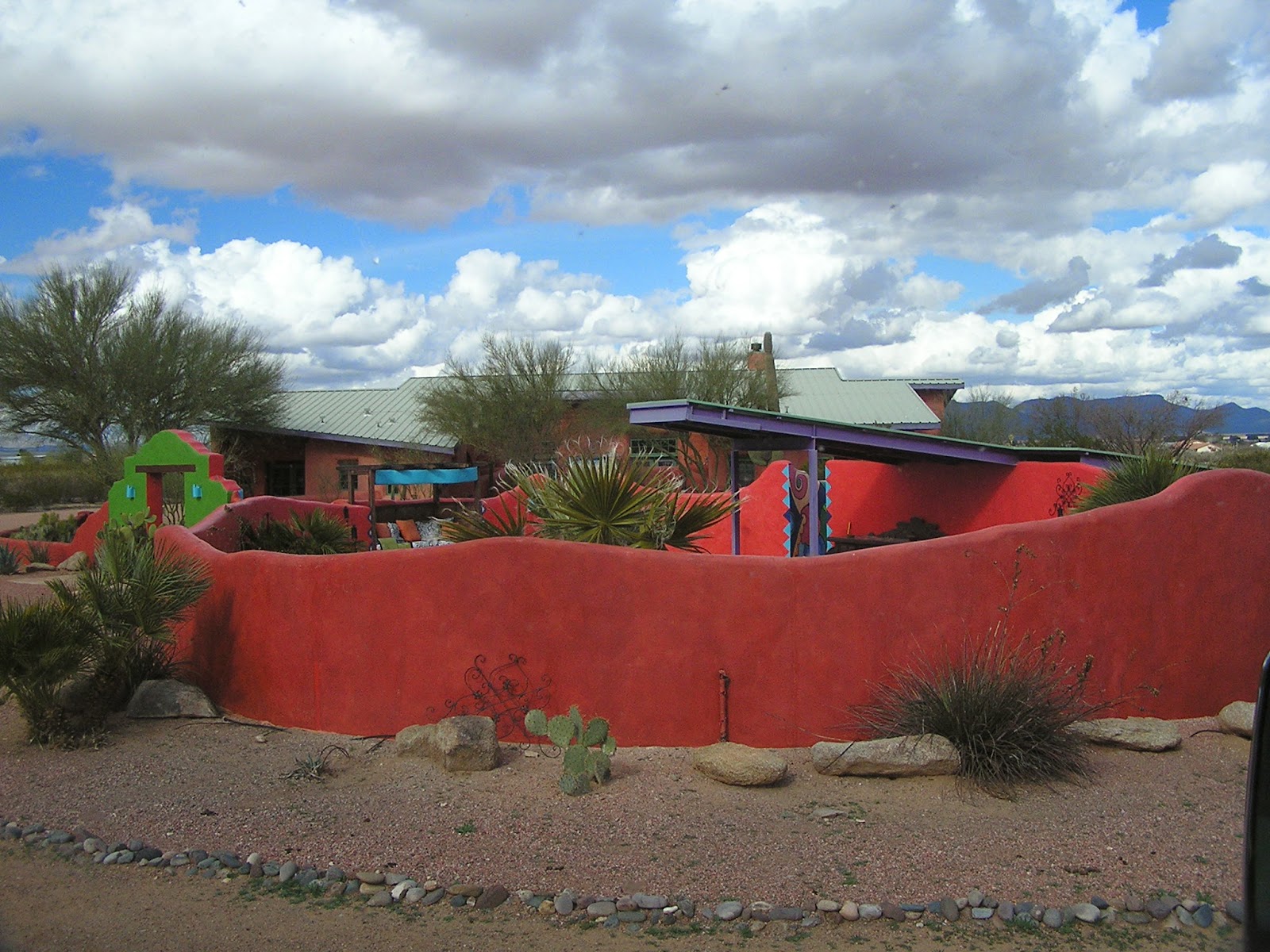
The lady of the house is very artistic and into bright colors.  It was a fun looking house. This is all we ever saw of the house.
This was our view our the front door early Wednesday morning.  What a beautiful view!!  As the sun rose, the fog cleared quickly.  The airstrip windsock was limp.
This is our friends Jim & Janet's house and shop.  
Jim is into astronomy.  The upper room houses his telescope.  When he uses the telescope it is rolled our of the room on rails.  The telescope is operated by a computer and what you see you see on the computer monitor.
Janet enjoys working outdoors and has cactus gardens all around the house. This one is between the front wall around house and the driveway. 
This tree is call a palo verde.  Yes, the bark is green.  Interesting trees.  This is the walkway up to the front door.
This view of the front cactus garden shows the gate leading to the inner yard.
This is inside the walled yard area.  There are several kinds of cactus and more palo verde trees.
This is the side patio outside the living room and kitchen.  We built a fire and sat around the pit on Wednesday night.  It was a beautiful night.
This the back patio with another fire pit and a mount for a smaller telescope.  It was cloudy both Tuesday and Wednesday nights so we did not get to star gaze.
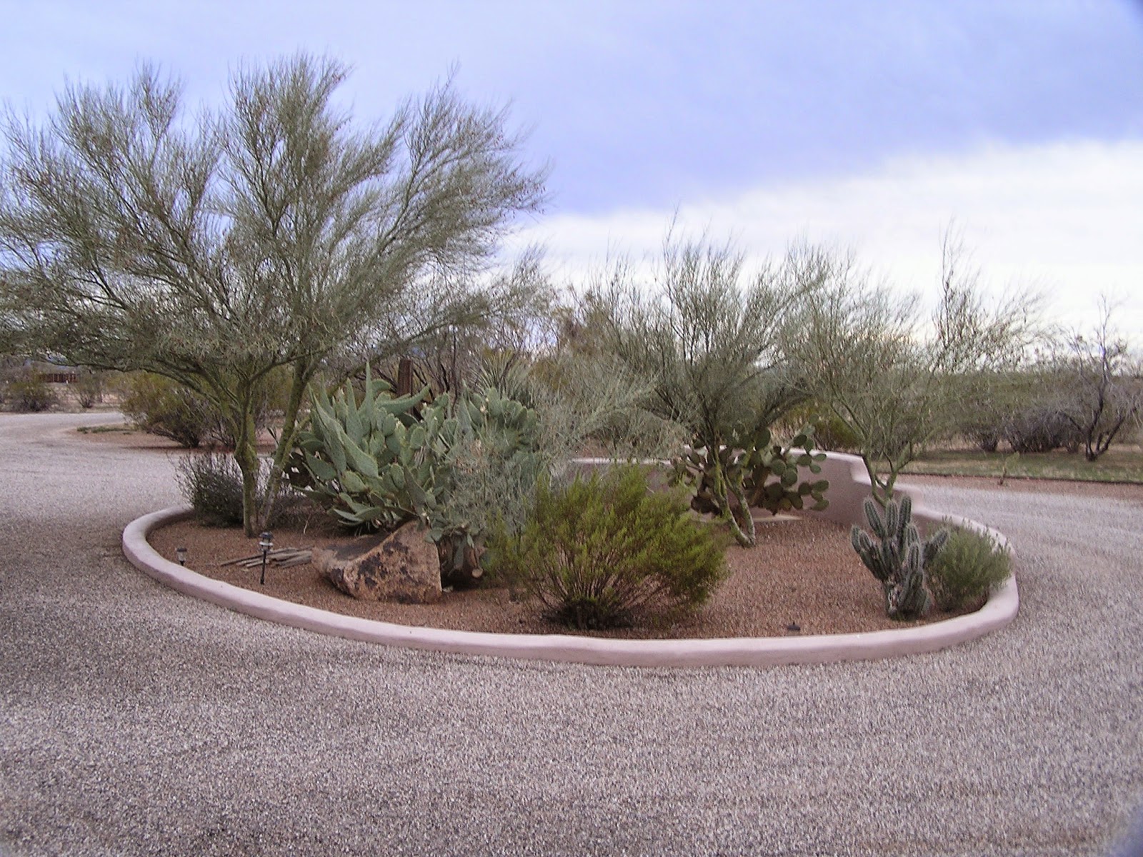
This cactus garden is in the center of their circular drive.  Janet keeps it all pristine.
This is part of their front yard.  They have about 5 acres and the house sits back about 1 acre. See the "eagle eye" on the mountain peak on the left side of the picture?
Here is a close up of the eagle head.  The area is called "Eagle Eye" and the road we took to Jim & Janet's house was also named Eagle Eye Rd.
This picture was taken from the roof just outside that upper room housing the telescope.  Jim is into trains.  This one is electric and is large enough to take two people on a ride around the property.
This is the walkway out to the train station.

This is the train station.  The mileages to the different towns are correct.  Cute!
Here is a little closer look at the train.  There is one car battery in the engine and 2 car batteries in the box car behind the engine.
Janet was the conductor and sat in the back.  Off we go for a ride.
Off we go between the mesquite bushes.  Along the way I did see a prairie dog, but it ran off before I could get a picture.
Here Janet and I are about 2/3rds of the way around the track.  Jim laid 900 yards of track.
When in college, their daughter took an art class where she made these sconce light covers.  She painted the kochina and then glazed this one.
Here's Jim and Janet in their kitchen area.  The whole house is decorated in southwest style.  It is beautiful!!  You can only see Tic's arm.

We had a really great time catching up.  It did not feel like we had not seen each other for 25 years.  Great visit!!!


.