Monday, June 29, 2015
We decided to take the Historic Scenic Drive up the gorge and check out some waterfalls.
Our first stop was Chanticleer Point which overlooks the Columbia River.
It is humid today so there is a haze in the air. The pastures you see are on the Washington side of the river. The river is wide. Here Tic is looking across the river.
This is looking up river. In places the river is shallow with sand bars. Notice the building on the right side of the picture. You will see more below.
This is the building you saw in the picture previously. It is named Vista House. It was designed by Edgar Lazarus and dedicated in 1918 to Oregon pioneers. The Vista House is built on Crown Point.
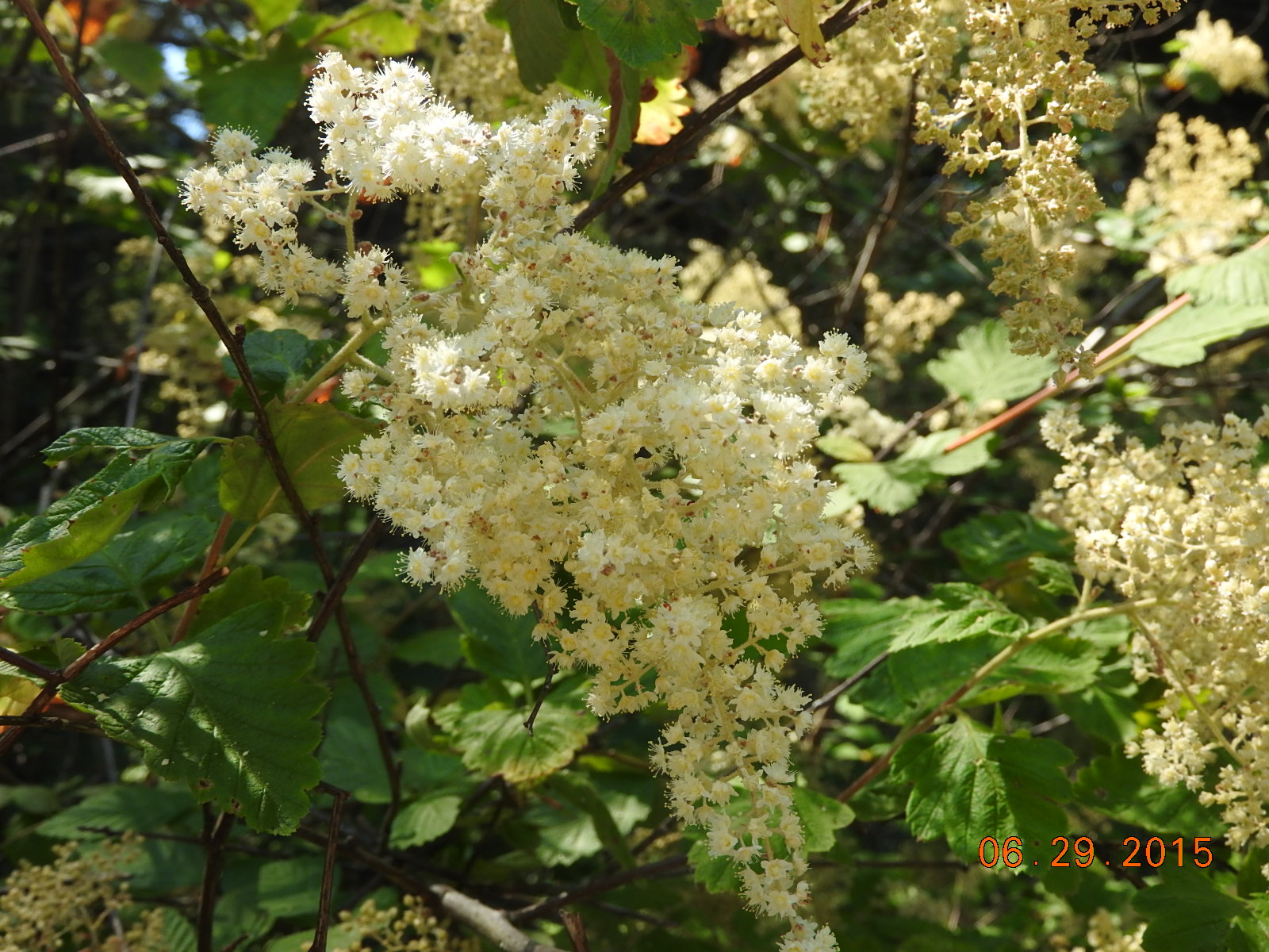
These pretty flowers were on the side of the road as we walked up to Vista House.
This view is taken from the second floor outside viewing area of the Vista House looking eastward or upriver. Beautiful!
This is looking westward or downriver from the same viewpoint. In the lower left corner of this picture you can see I-84 that runs along the river on the Oregon side.
Just to give some perspective as to the width of this river, this is a ski boat pulling a person on an inner-tube. Sure looks tiny in the river doesn't it?
 We finally arrived at our first waterfall. There were 2 different hiking paths. We headed towards the river and got this view. Those are solid rock cliffs on the Washington side.
Just a little further down the trail this was our view. This island is in the river. The width of this river is amazing to us.
On our way to the other trail we saw these teeny tiny flowers. I've really enjoyed spring and all the flowers.
We even saw these pretty lilies on the way to the waterfall.
We finally arrived at our first waterfall. There were 2 different hiking paths. We headed towards the river and got this view. Those are solid rock cliffs on the Washington side.
Just a little further down the trail this was our view. This island is in the river. The width of this river is amazing to us.
On our way to the other trail we saw these teeny tiny flowers. I've really enjoyed spring and all the flowers.
We even saw these pretty lilies on the way to the waterfall.
This is the Bridal Veil waterfall. We could not see the waterfall until we were right by it.
We drove on down the road and had planned to stop at the Multnomah Falls. It is one of the most famous along this drive. We could not find a place to park. We were warned if you are not there early you might not get a place to park. Multnomah Falls is only a few miles from where our RV is parked, so we decided we'd skip it for now. We will go back early one morning.
Just a few miles past Multnomah Falls was Horsetail Falls.
Horsetail Falls is 176 feet in height. This area is very dry at this time, so to have the falls flowing strong is great!
It is nearly 1pm now and I am hungry for lunch. I found the Eagle Creek Overlook. We had lunch where the creek dumped into the Columbia River and near the Bonneville Dam.
This is the Bonneville Dam across the Columbia River. There is a set of locks off to the left side of this picture. We are near the town called Cascade Locks and we believe that is the name of the locks also.
As we drove into the town of Cascade Locks, we saw "The Bridge of the Gods". It is a toll bridge that crosses the Columbia River to the Washington side.
The support at the water's edge on the Oregon side had a mural painted on it. See the 3 pictures below.
Great artwork!
After this we decided since we were so close that we should drive to Mt. Hood.
Mt. Hood stands high at 11,250 ft. The last eruption was in 1866. There are ski runs on the lower parts of the mountain.
At this point we crossed a bridge that said it crossed the White River. I pulled into the parking area. This grey rock created a high bank in addition to the same grey rock being in the river bed. From the road the riverbed looked dry.
This was the riverbed. Until you look closely you cannot see the muddy water running through. See the short video below.
With our camera zoomed on Mt. Hood, we could see a water flow coming from snow melt. We assume in the spring when the snow melt is more that the water flow here would be much greater. The temperature where we were at this spot was 80 degrees per our Jeep.
Friday, June 26, 2015
Today we move from Rockaway Beach, OR to Fairview, OR. Fairview is part of the Portland Metroplex.
It was a foggy drive until we got a ways inland. It was clear and hot in Fairview. I did not take any pictures along the drive. We arrived and got setup by about 1:30pm.
We have a nice long pull-thru. There is a small parking pad for the Jeep also. We can barely get out of the Jeep because the driver's door is next to the bedroom slideout. As you can see, we can open our awning, but sites are tight. With a Good Sam discount plus taxes, this cost us $44 per night.
After lunch we went to Home Depot, then did our grocery shopping. Tic is designing a new light to illuminate our American Flag at night.
Look, he did a great job. This light is much brighter than the solar light we were using.
Saturday, June 27, 2015
Dusty saw there was a Recycle Festival in Vancouver, WA this weekend, so we went.
The festival is at the Ester Short Park, which is the first public park in the Pacific Northwest established in 1853.
This is a small part of the tents and crowds. It took us about 2.5 hours to walk through it.
This is one of the more unique pieces of art.
I like this turtle. I might need one if I ever have a yard again.
This is made from pieces of drift wood. Talented!!
There were things made from aluminum can tabs, purses crocheted from plastic bags, lots of broken glass crafts and much more.
There was a pretty little rose garden at the park. I had to get my flowers in this post.
The park is in a historic part of town. Most of the street lights had baskets of flowers hanging on them. Tic likes this touch and wishes Weatherford, TX would do this on the square.
This is the town clock. It happens to sit on one corner of the park.
We did not find anything we absolutely needed. It was hot today and we had all the heat we wanted. We headed home.
We have enough clouds for a beautiful sunset tonight.
We even got to see the moon. What a beautiful evening!
Wednesday, June 24, 2015
Today is our day to gather stuff for projects, grocery shop, and have a little fun. After our various shopping stops, we decided to play golf on an 18 hole putting green. It was similar to a putt putt golf course, except it is real grass with unique shapes.
This is hole #1. It was one of the easier ones.
In case you cannot tell, my first hit went into the sand trap. Look how winding this hole is. Fun!
Can you tell Tic had the camera? I'm in another sand trap AGAIN.
I'm starting another hole with a big sweep in the middle.
I finally got the camera and got Tic in a sand trap. Hee Hee
This hole had this water trap in the middle. The sides going around the water were banked also.
Can you tell both sides are banked down towards the sand trap? The pin is just the other side of the sand trap.
This hole has another sand trap in the middle and a dog leg to the pin. See the person in the pink? She is close to the pin. See the blue flag?
Tic took this movie of me taking my first shot. There was a hill in the middle of the hole. I thought my ball was going to roll back down so I got a little upset. Then the ball actually stopped on the top of the hill. Funny.
We had lots of fun. Tic beat me by 9 strokes on these 18 holes. It was still lots of fun. I guess because it was so different from the typical miniature golf courses.
We went outside about 9pm so get some sunset pictures. Tic got the moon. Cool!
This was the first picture. We almost missed it by the time we got to the water's edge.
This is the last picture he took. I think the birds make this a special picture.
What a beautiful way to end the day.
Tuesday, June 23, 2015
Today we decided to go see the historic town of Astoria.
As we drove into Astoria we decided to cross the Columbia River and go see the Cape Disappointment on the Washington Side. This is part of the 4 miles of bridge that crosses the river.
This part of the bridge is before the large green part in the previous picture. This is actually a lift bridge so the tall ships can get through.
From the bridge as we drove over the bridge, I was able to get this picture of 3 large ships anchored up river a little.
This is coming down off the tall green bridge shown in the first picture. The tide is low right now, so we can see sandbars.
This is some beach near the Cape Disappointment Lighthouse in South part of Washington State.
This is the Cape Disappointment Lighthouse. Many of the lighthouses on the Oregon coast look similar. Each lighthouse has a different light pattern. That is the only thing that distinguishes each lighthouse on the Pacific.
This is beach on the north side of a jetty designed to help keep the sand flow up the river under semi-control. They still have to dredge the river regularly.
Next we went back into Astoria and went to the Columbia River Maritime Museum.
This is the front of the building.
This huge propeller was near the entrance to the museum.
This huge anchor was also near the entrance to the museum.
This a lighthouse lens. I don't remember which lighthouse it came from. Wears me out trying to remember all I see.
This is a restored Coast Guard boat from the early 1900's.
During the early 1900's this is the type of fishing boat used by the locals.
This is a display of a full-sized Coast Guard ship rescuing someone in the water. If you haven't seen the movie "The Guardian", I recommend it. It is about the Coast Guard.
I took this picture of most of the 4 miles of bridge from the dock behind the museum.
This is an active Coast Guard ship docked here for restocking and refueling we believe. We saw young men leaving the ship. It looked like they were on shore leave.
Here we are looking up the Columbia River. Again you can see how wide the river is here. Also the clouds are interesting.
Here's my flowers for this post. These were near the street.
This closeup shows how tiny and delicate these flowers are.
Headed home now. We have plans to meet with some neighbors at the RV park after dinner.


 We finally arrived at our first waterfall. There were 2 different hiking paths. We headed towards the river and got this view. Those are solid rock cliffs on the Washington side.