Columbia River Gorge Waterfalls and Mt. Hood
Monday, June 29, 2015
We decided to take the Historic Scenic Drive up the gorge and check out some waterfalls.
Our first stop was Chanticleer Point which overlooks the Columbia River.
It is humid today so there is a haze in the air. The pastures you see are on the Washington side of the river. The river is wide. Here Tic is looking across the river.
This is looking up river. In places the river is shallow with sand bars. Notice the building on the right side of the picture. You will see more below.
This is the building you saw in the picture previously. It is named Vista House. It was designed by Edgar Lazarus and dedicated in 1918 to Oregon pioneers. The Vista House is built on Crown Point.
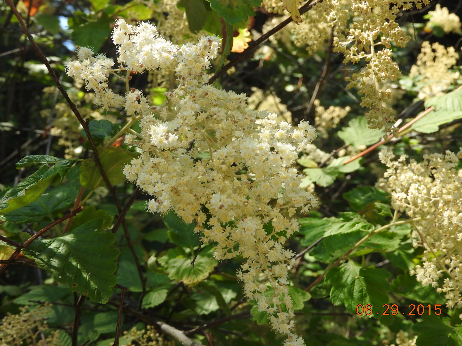
These pretty flowers were on the side of the road as we walked up to Vista House.
This view is taken from the second floor outside viewing area of the Vista House looking eastward or upriver. Beautiful!
This is looking westward or downriver from the same viewpoint. In the lower left corner of this picture you can see I-84 that runs along the river on the Oregon side.
Just to give some perspective as to the width of this river, this is a ski boat pulling a person on an inner-tube. Sure looks tiny in the river doesn't it?
 We finally arrived at our first waterfall. There were 2 different hiking paths. We headed towards the river and got this view. Those are solid rock cliffs on the Washington side.
Just a little further down the trail this was our view. This island is in the river. The width of this river is amazing to us.
On our way to the other trail we saw these teeny tiny flowers. I've really enjoyed spring and all the flowers.
We even saw these pretty lilies on the way to the waterfall.
We finally arrived at our first waterfall. There were 2 different hiking paths. We headed towards the river and got this view. Those are solid rock cliffs on the Washington side.
Just a little further down the trail this was our view. This island is in the river. The width of this river is amazing to us.
On our way to the other trail we saw these teeny tiny flowers. I've really enjoyed spring and all the flowers.
We even saw these pretty lilies on the way to the waterfall.
This is the Bridal Veil waterfall. We could not see the waterfall until we were right by it.
We drove on down the road and had planned to stop at the Multnomah Falls. It is one of the most famous along this drive. We could not find a place to park. We were warned if you are not there early you might not get a place to park. Multnomah Falls is only a few miles from where our RV is parked, so we decided we'd skip it for now. We will go back early one morning.
Just a few miles past Multnomah Falls was Horsetail Falls.
Horsetail Falls is 176 feet in height. This area is very dry at this time, so to have the falls flowing strong is great!
It is nearly 1pm now and I am hungry for lunch. I found the Eagle Creek Overlook. We had lunch where the creek dumped into the Columbia River and near the Bonneville Dam.
This is the Bonneville Dam across the Columbia River. There is a set of locks off to the left side of this picture. We are near the town called Cascade Locks and we believe that is the name of the locks also.
As we drove into the town of Cascade Locks, we saw "The Bridge of the Gods". It is a toll bridge that crosses the Columbia River to the Washington side.
The support at the water's edge on the Oregon side had a mural painted on it. See the 3 pictures below.
Great artwork!
After this we decided since we were so close that we should drive to Mt. Hood.
Mt. Hood stands high at 11,250 ft. The last eruption was in 1866. There are ski runs on the lower parts of the mountain.
At this point we crossed a bridge that said it crossed the White River. I pulled into the parking area. This grey rock created a high bank in addition to the same grey rock being in the river bed. From the road the riverbed looked dry.
This was the riverbed. Until you look closely you cannot see the muddy water running through. See the short video below.
With our camera zoomed on Mt. Hood, we could see a water flow coming from snow melt. We assume in the spring when the snow melt is more that the water flow here would be much greater. The temperature where we were at this spot was 80 degrees per our Jeep.


 We finally arrived at our first waterfall. There were 2 different hiking paths. We headed towards the river and got this view. Those are solid rock cliffs on the Washington side.


No comments:
Post a Comment